![]()
![]()
|
|
|
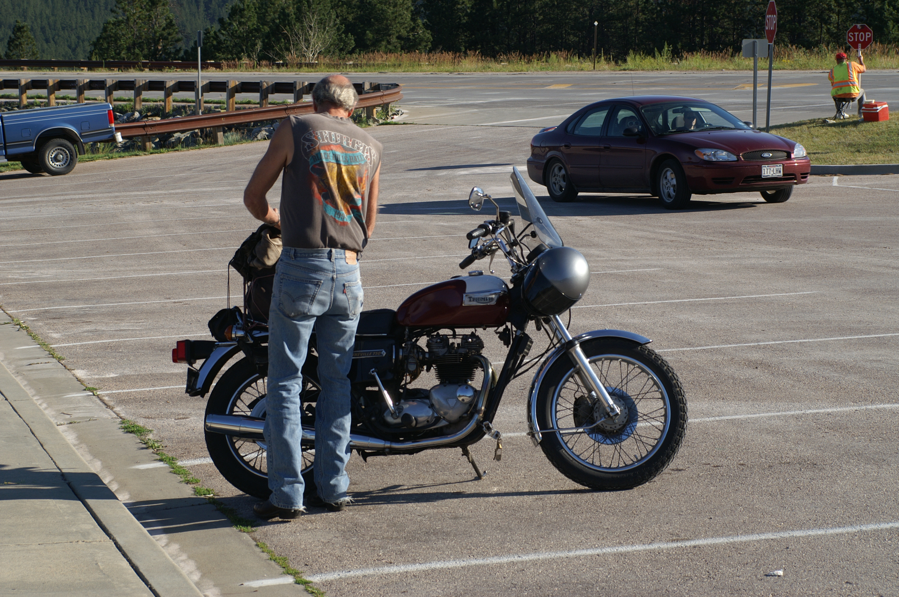
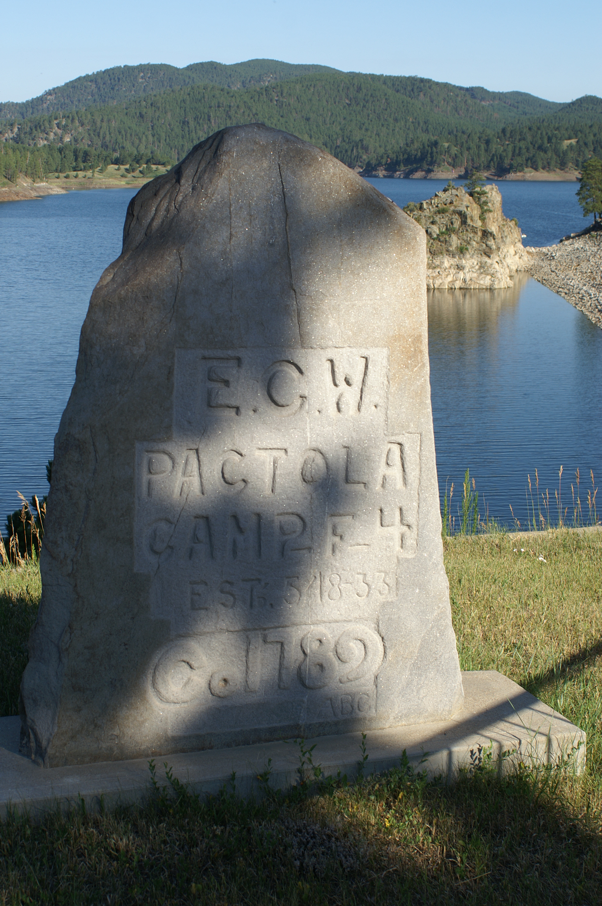
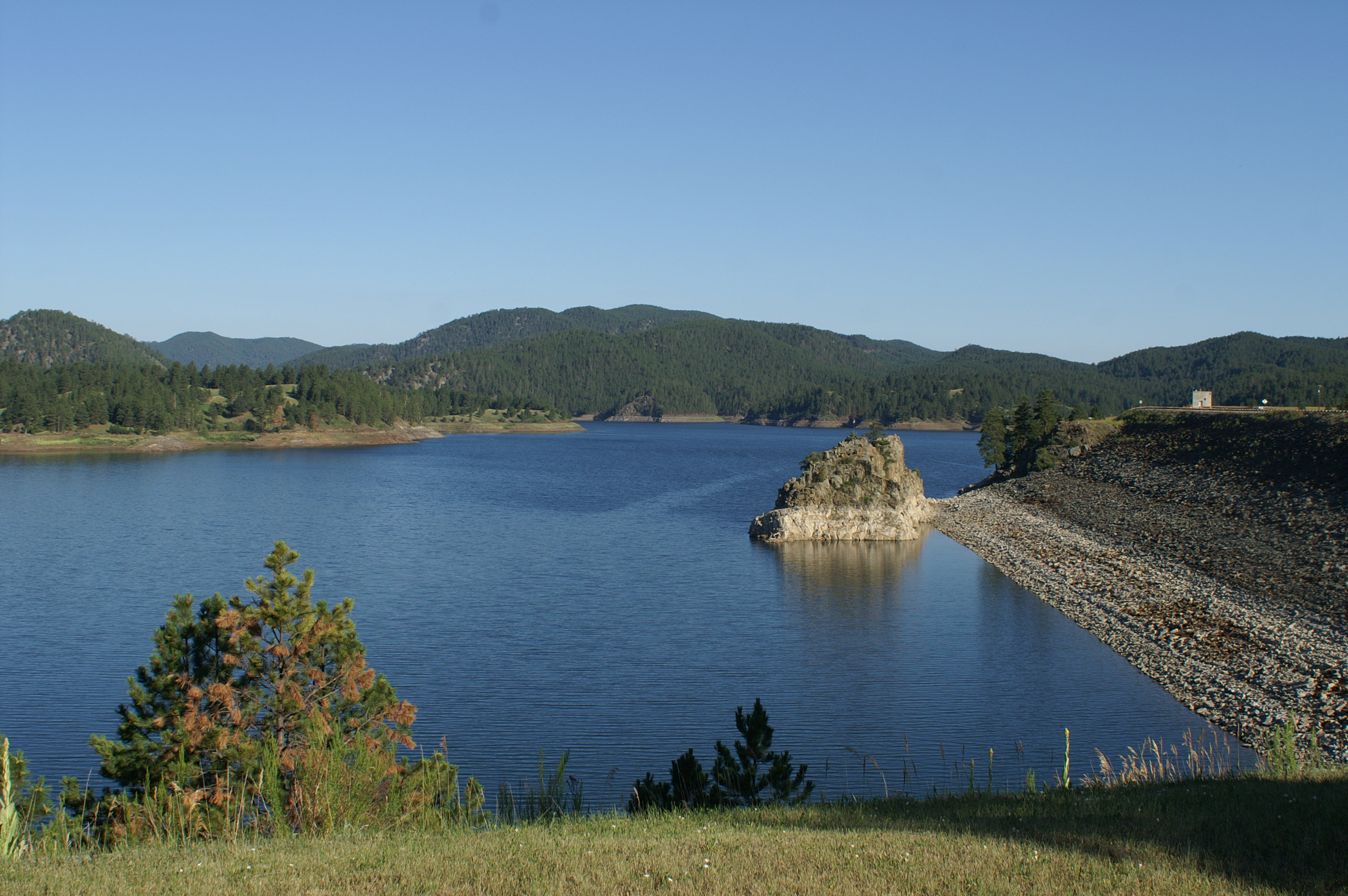
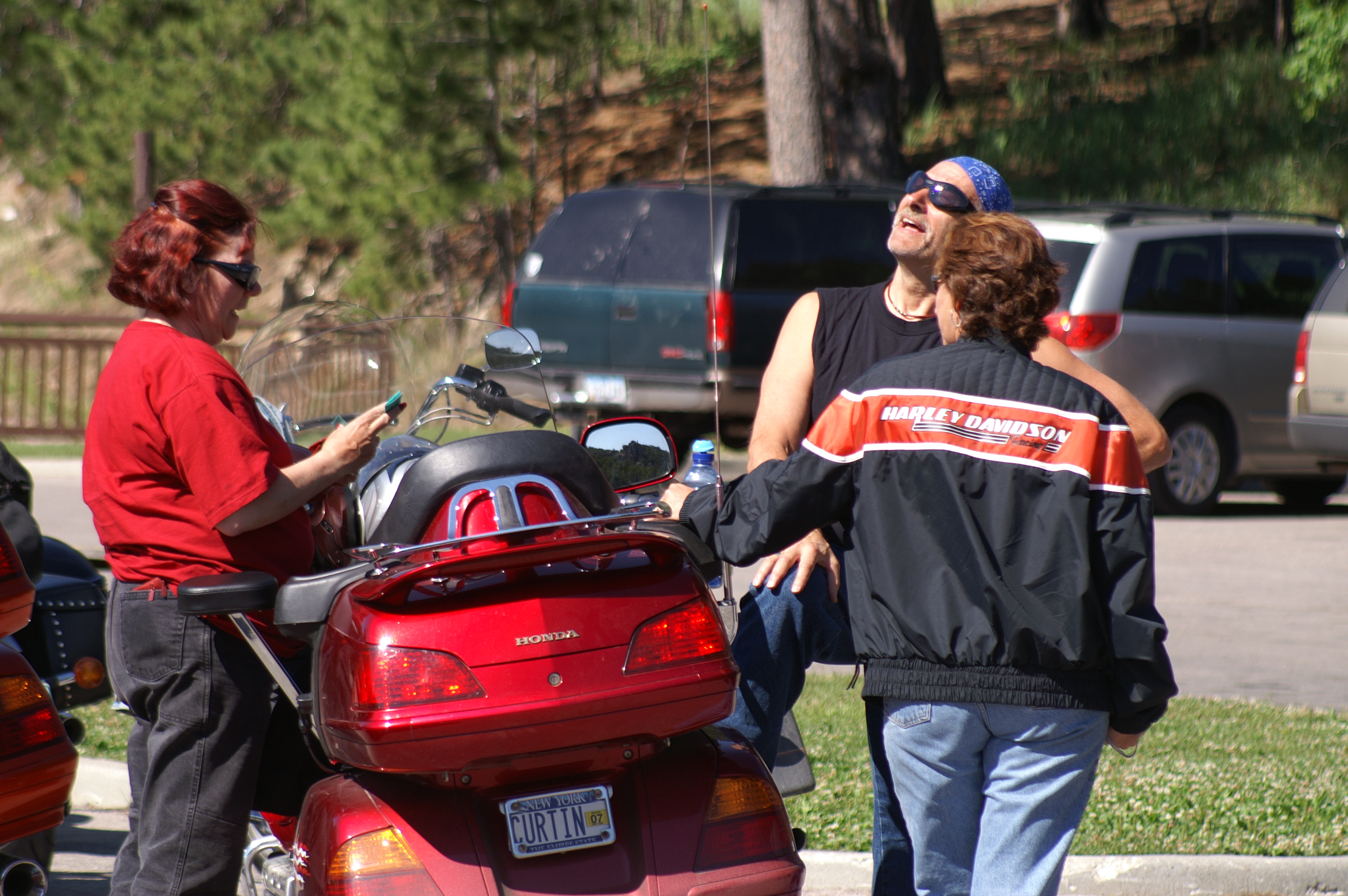
Day two has us going to see Chief Crazyhorse, Custer State Park for the Needles Highway, the wildlife loop, and Mount Rushmore. We have four bikes on today's tour; Chuck and Marci on their Wing, Bobby and Charlotte on their Harley RoadKing, Travis and Katie on their 800 Intruder, and Val and I on our Wing. On the way to see the Chief Crazyhorse monument, we stopped at Pactola Reservoir. I don't know who the guy is with the Bonneville, but I took the shot anyway. Have Triumph? Will photograph!
While Chuck is photographing a couple of Chipmunks having an intimate moment, Val and Marci pose. The view over the reservoir was spectacular. It was built by Roosevelt's Emergency Conservation Work Corps (Also know as the CCC; Civilian Conservation Corps). "President Roosevelt revitalized the faith of the nation with several measures, one of which was the Emergency Conservation Work (ECW) Act, more commonly known as the Civilian Conservation Corps. With this action, he brought together two wasted resources, the young men and the land, in an effort to save both." To read more about it, see CCC-Alumni.
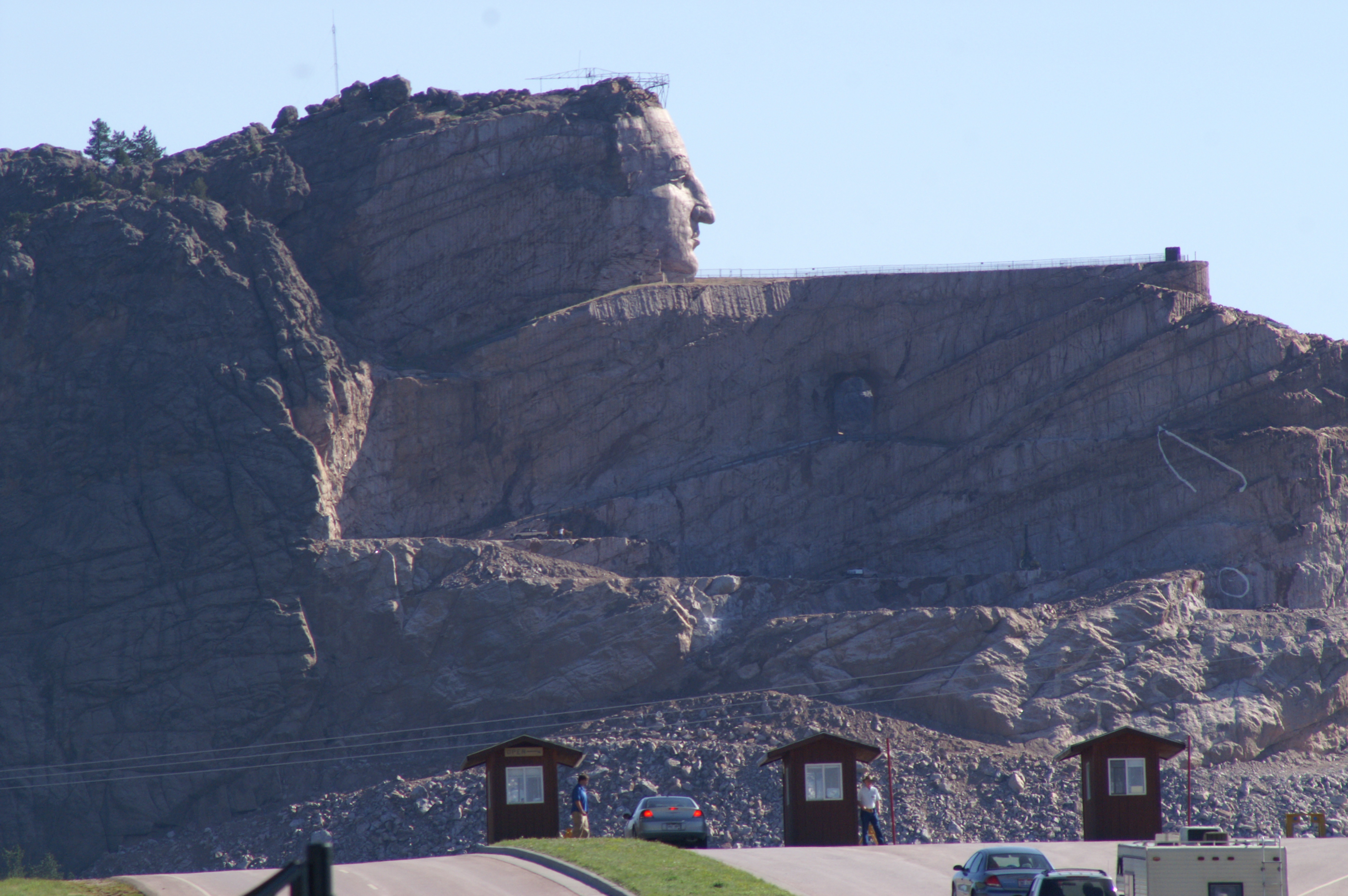
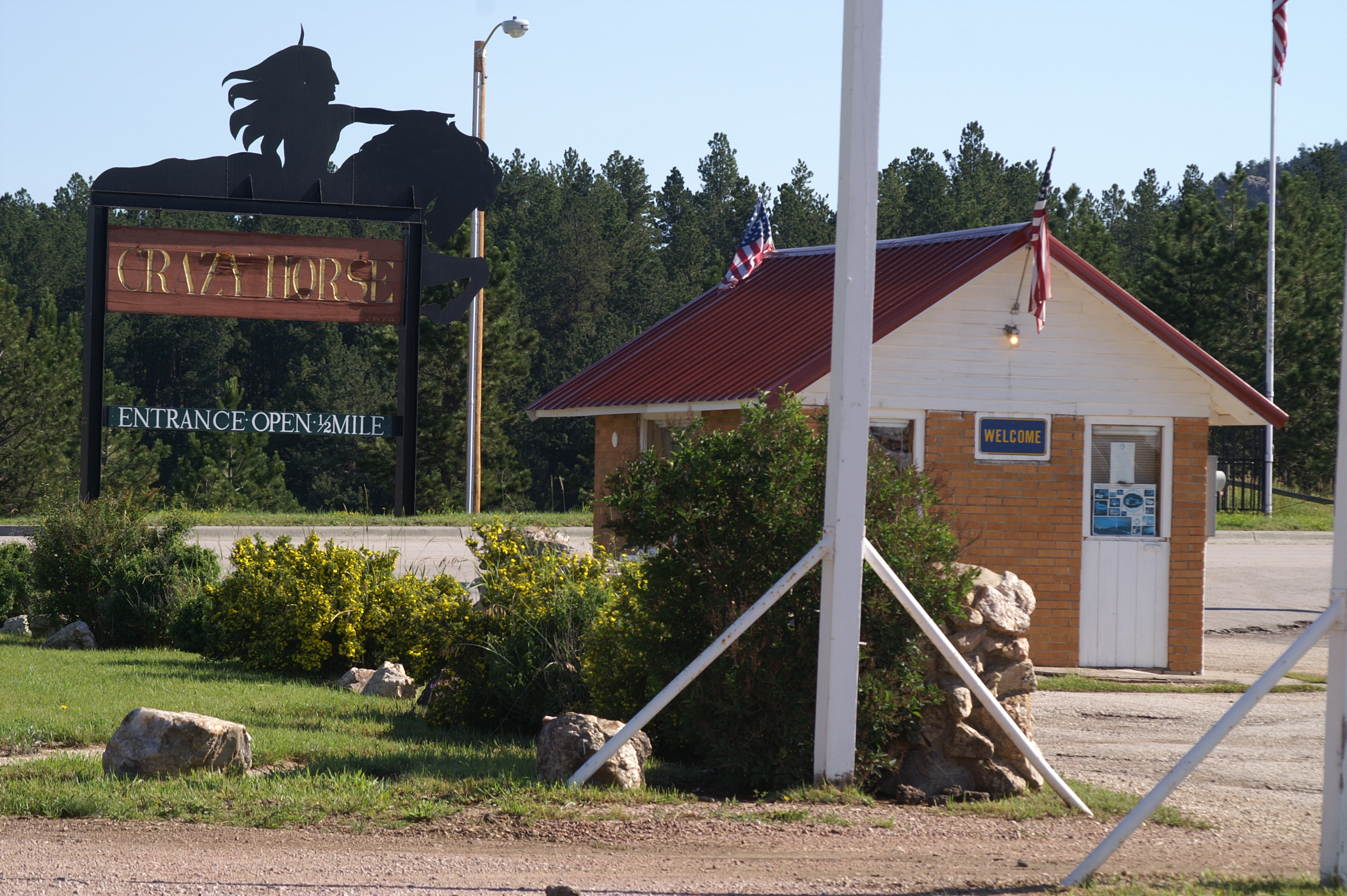
Crazyhorse is a work still in progress. It is due to be completed in about 4 more years. We decide not to drive up to the base since the view from this point is actually very good. Additionally, we were hoping to meet up with some of the other riders in Custer State Park. Press on we did. However, nature called and forced an early stop. While were taking some refreshment at a camp-ground office, Emu and some of the other riders blew past. I guess we are headed in the right direction. In the short ride from Crazyhorse to this stop, Travis and Katie realize that they were riding without their sheep skin on the seat. Monkey butt was already beginning to set in. They made double sure it was on the seat before heading out this time.
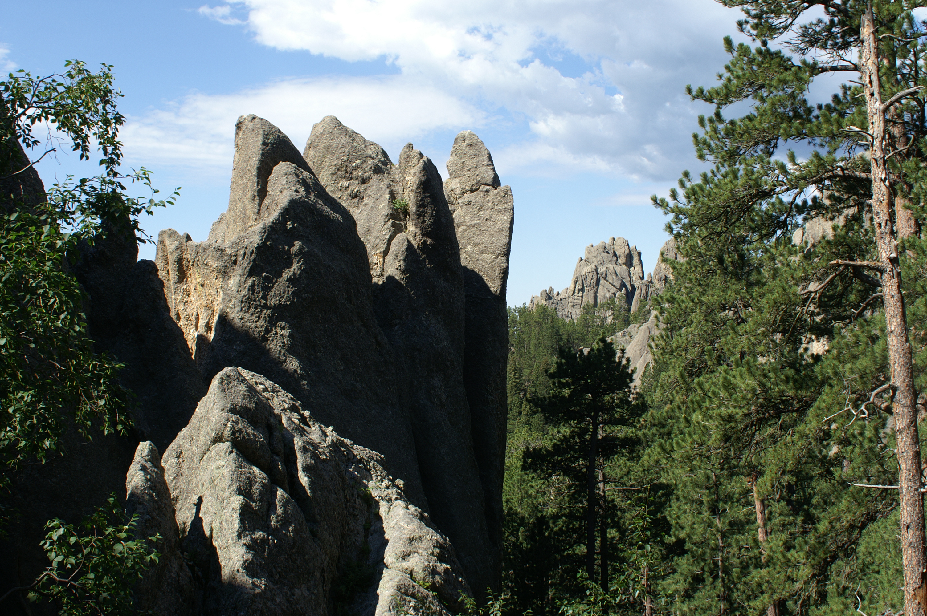
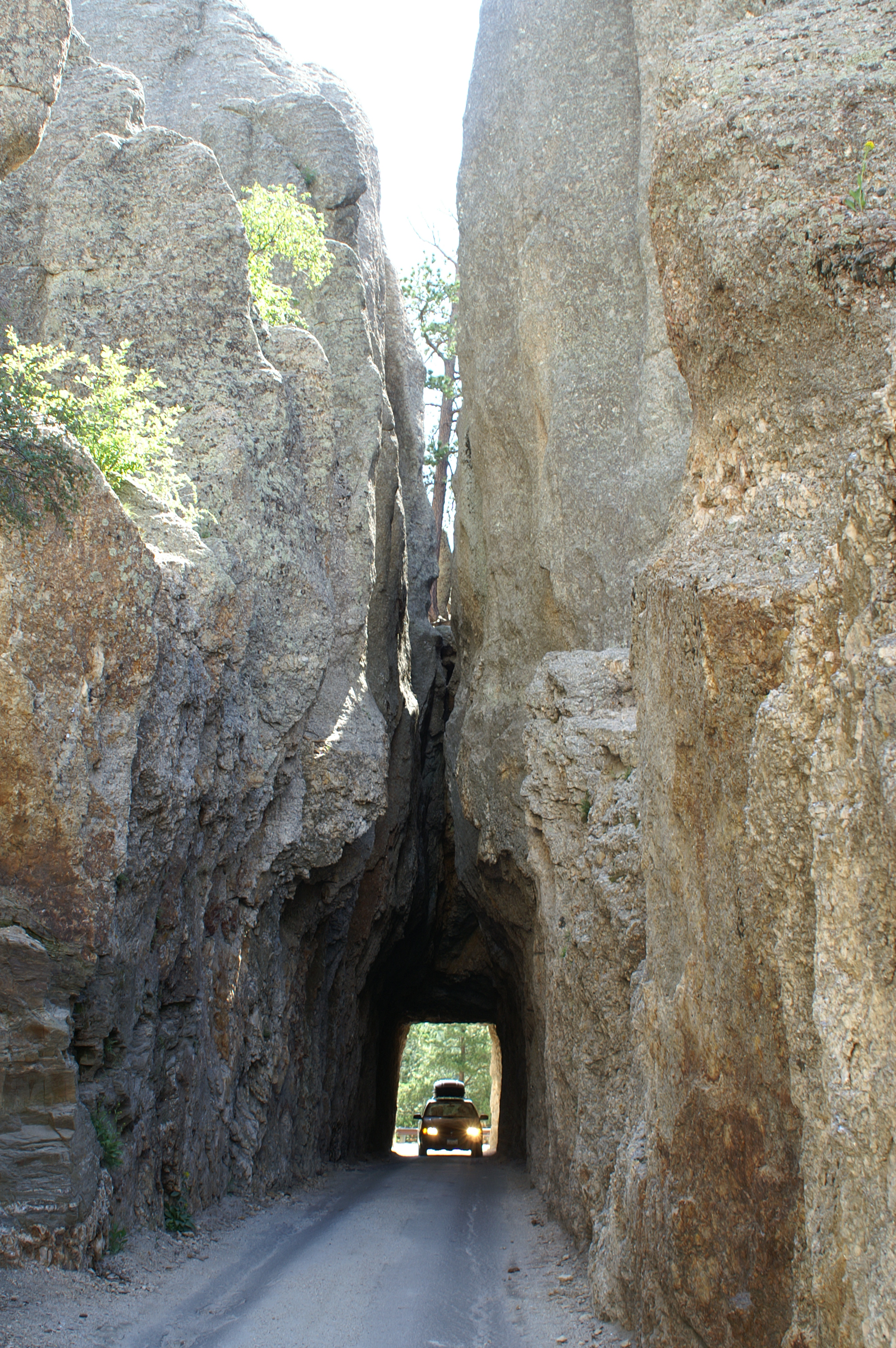
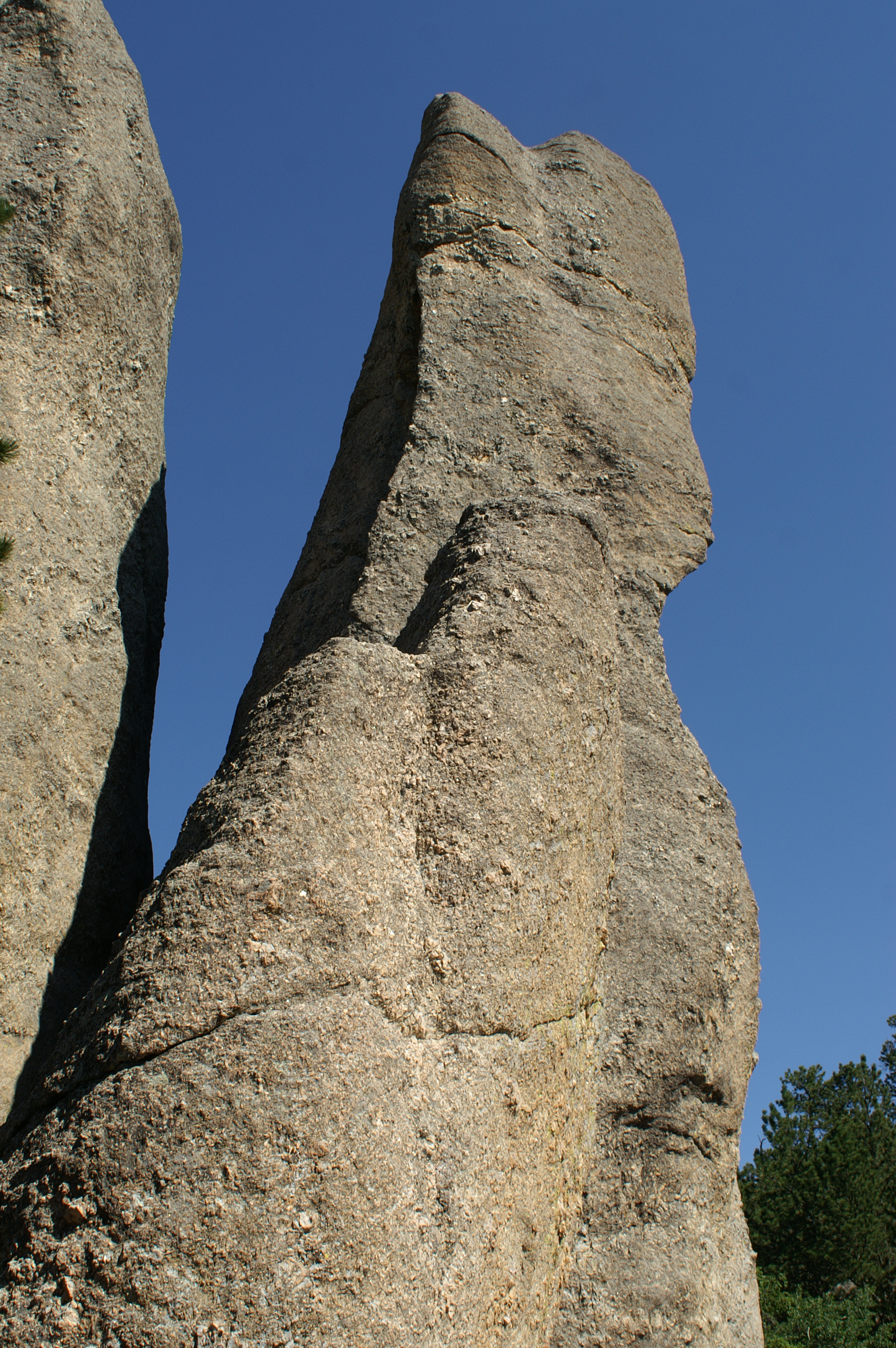
After leaving the visitor's center, we pass this formation of rocks on the left side of the road. Looking at them in a group, the formation look like three wolves howling (see picture on the far left). The photo next to the 3 wolves, is the eye of the Needle. Needles highway gets its name from the spires, sharp curves, and the eye. To get through the eye (a tunnel) you honk your horn and hope for the best. I kept honking periodically on the way through. If you have heard the horn on the Wing, you know why Val smacked me upside the helmet. Its rather loud.
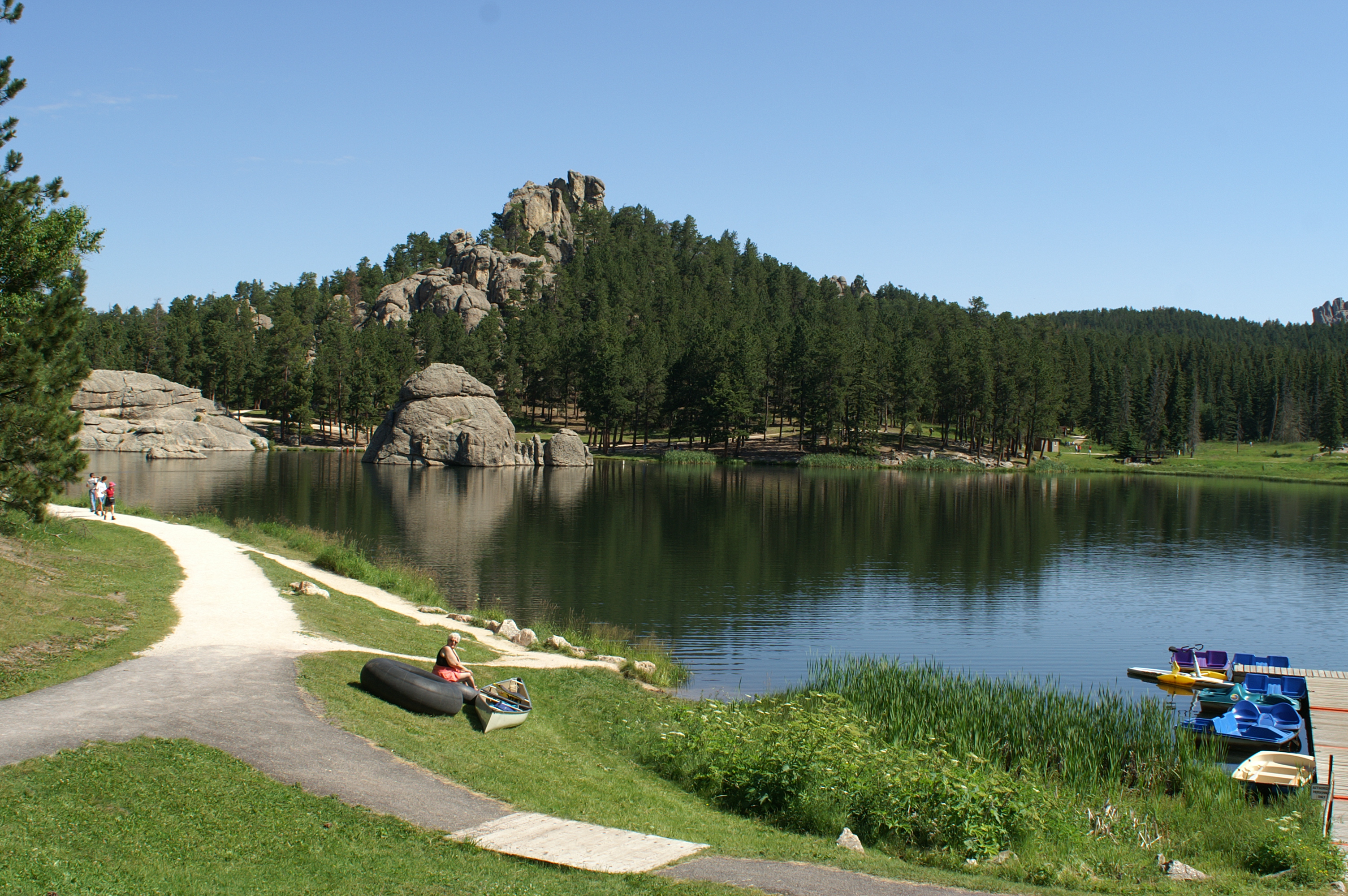
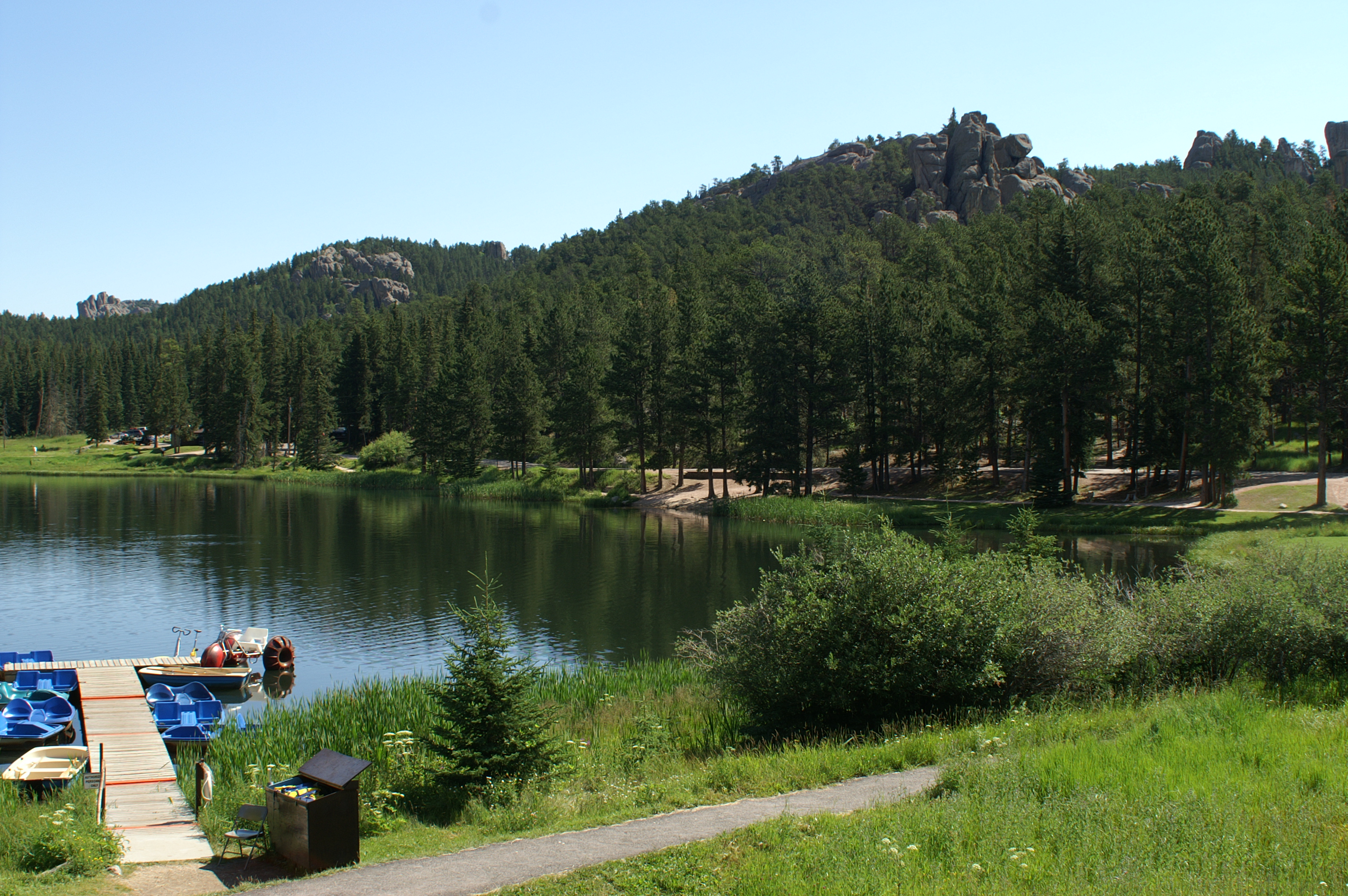
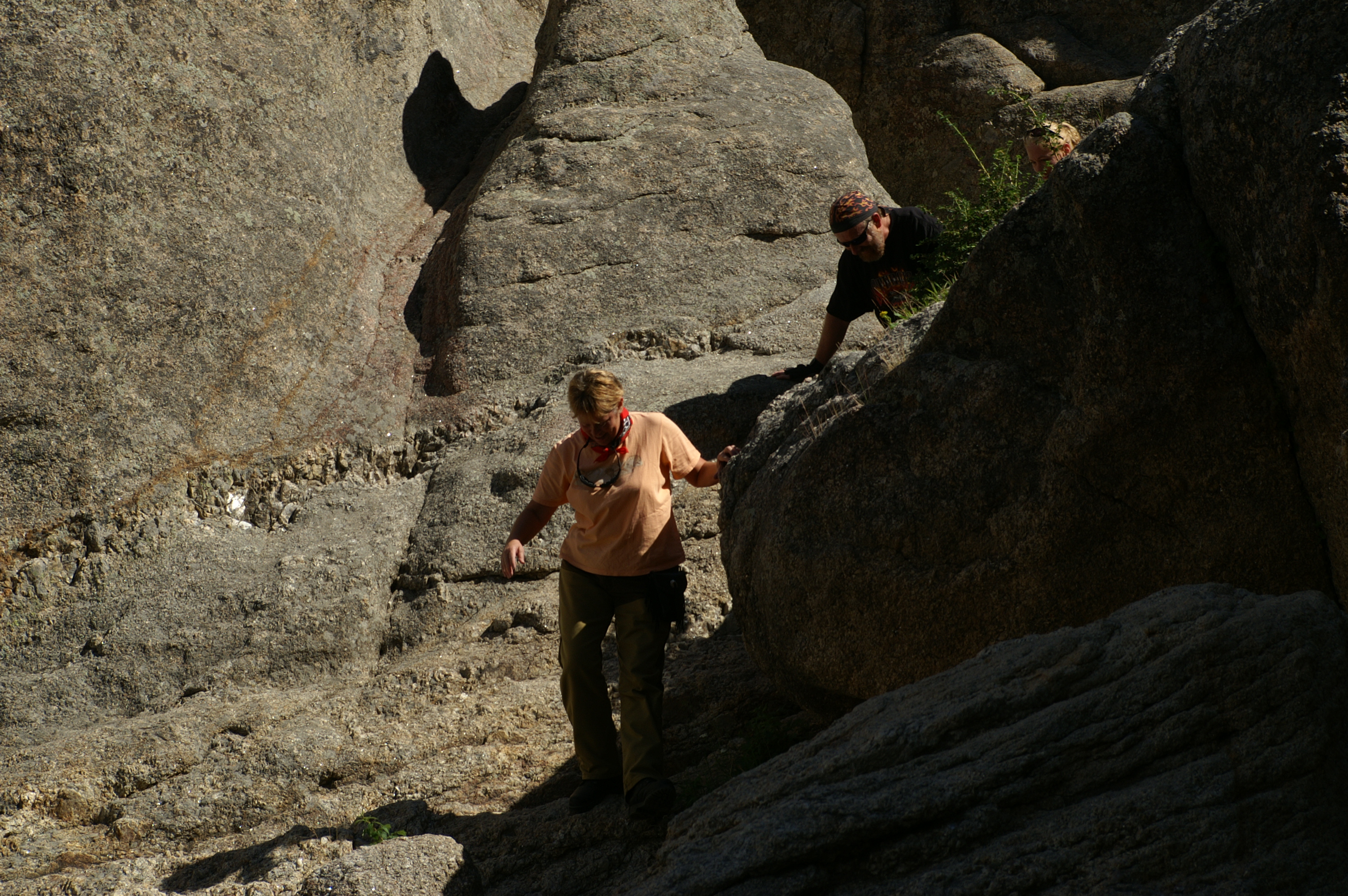
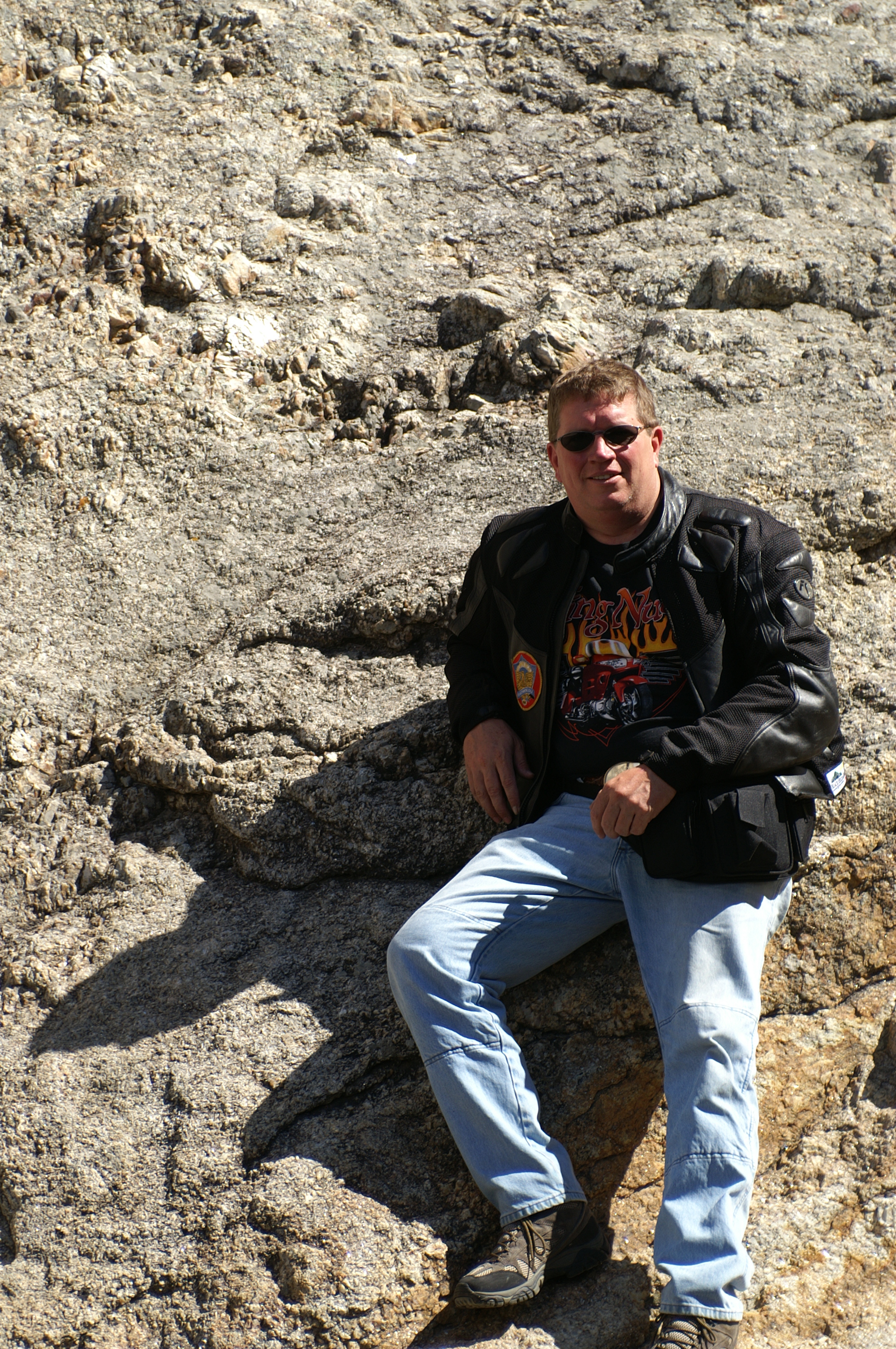
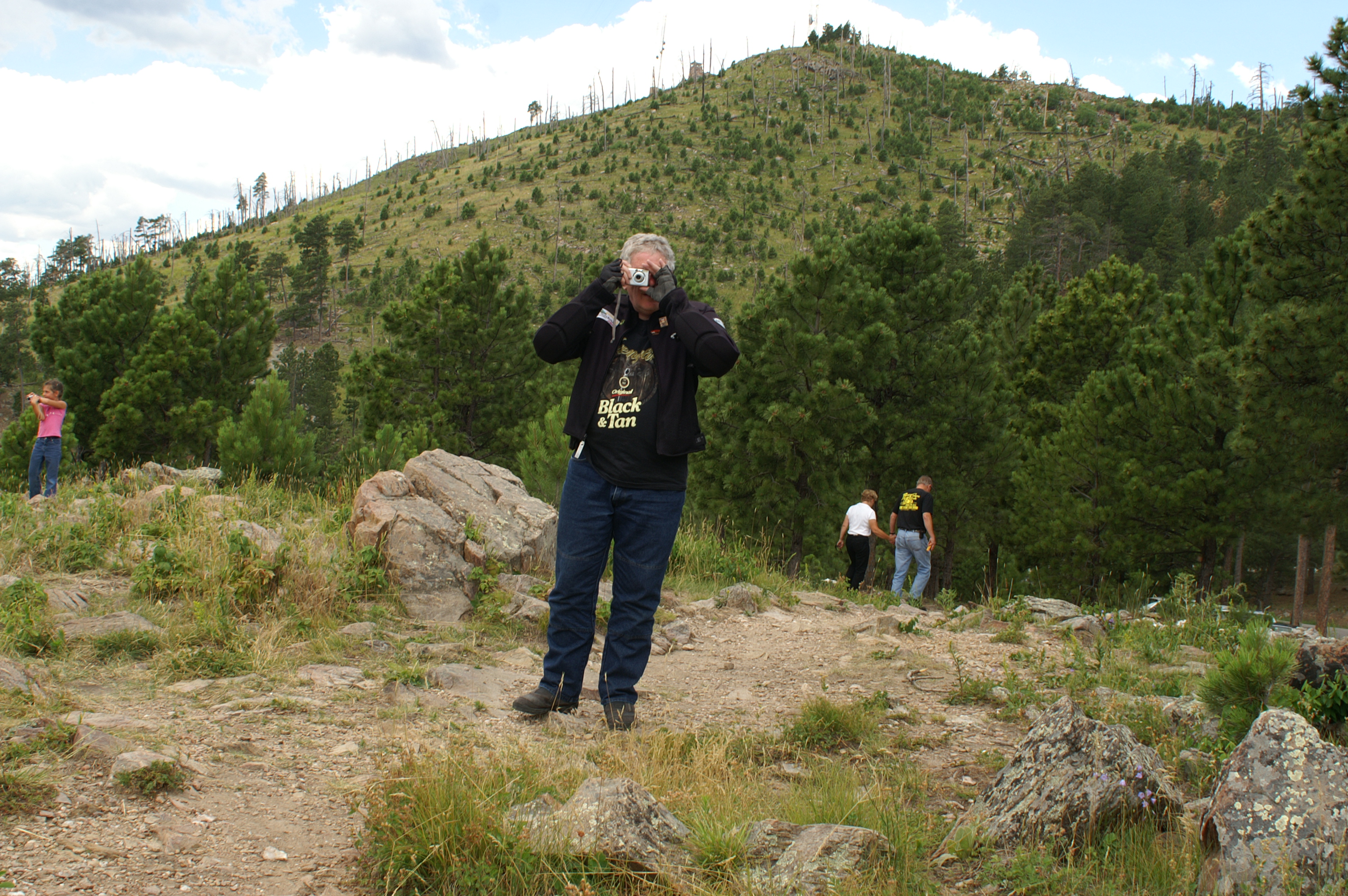
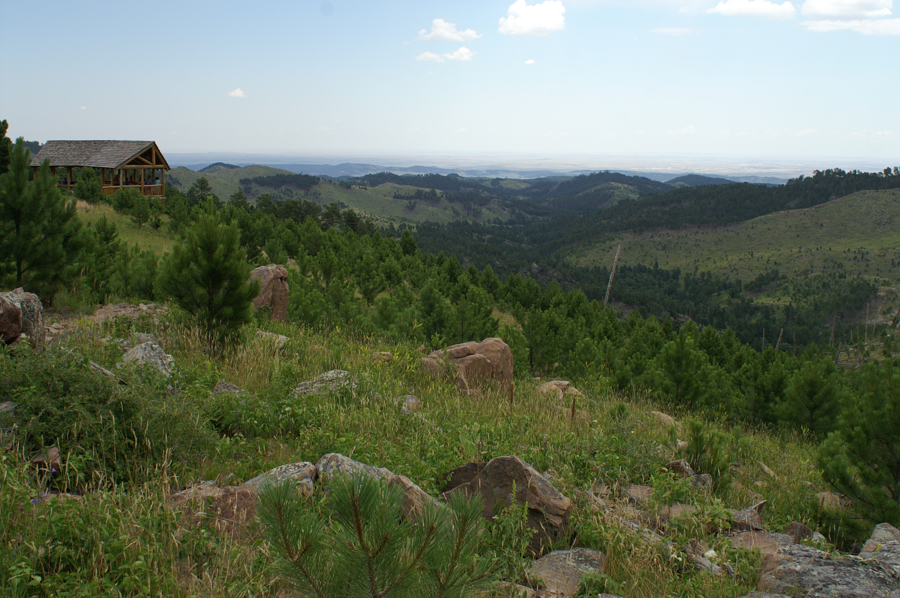
After leaving the needle we settle into a nice cruising rhythm where we pass though another tunnel and the needles spire rock formations. The pace is moderate and enjoyable. When we saw something of interest, we stopped. One of the stops offered a short walk to a platform shelter where we enjoyed the view of the hills running into the plains far away and below. Chuck played with his camera, and Val stayed on the bike. With her hip acting the way it did, sometimes it was just better to stay put in the queen's seat on the wing.
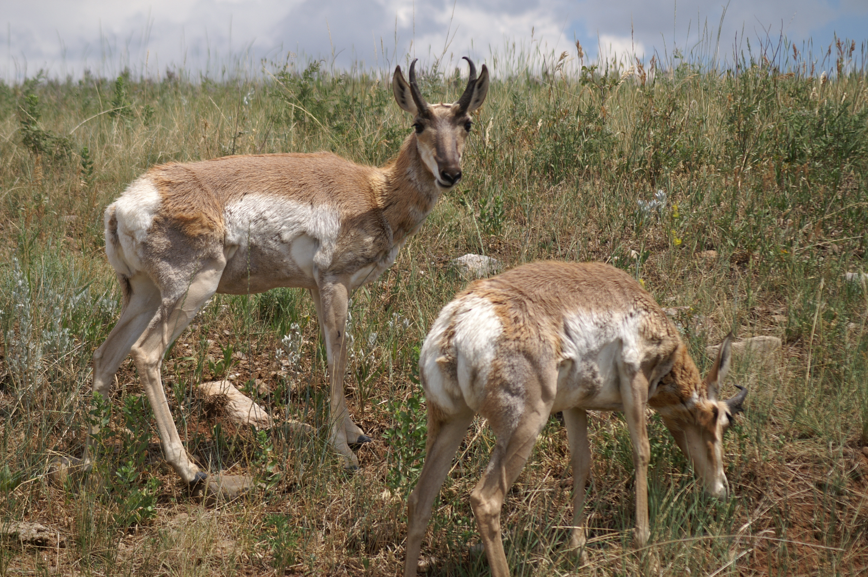
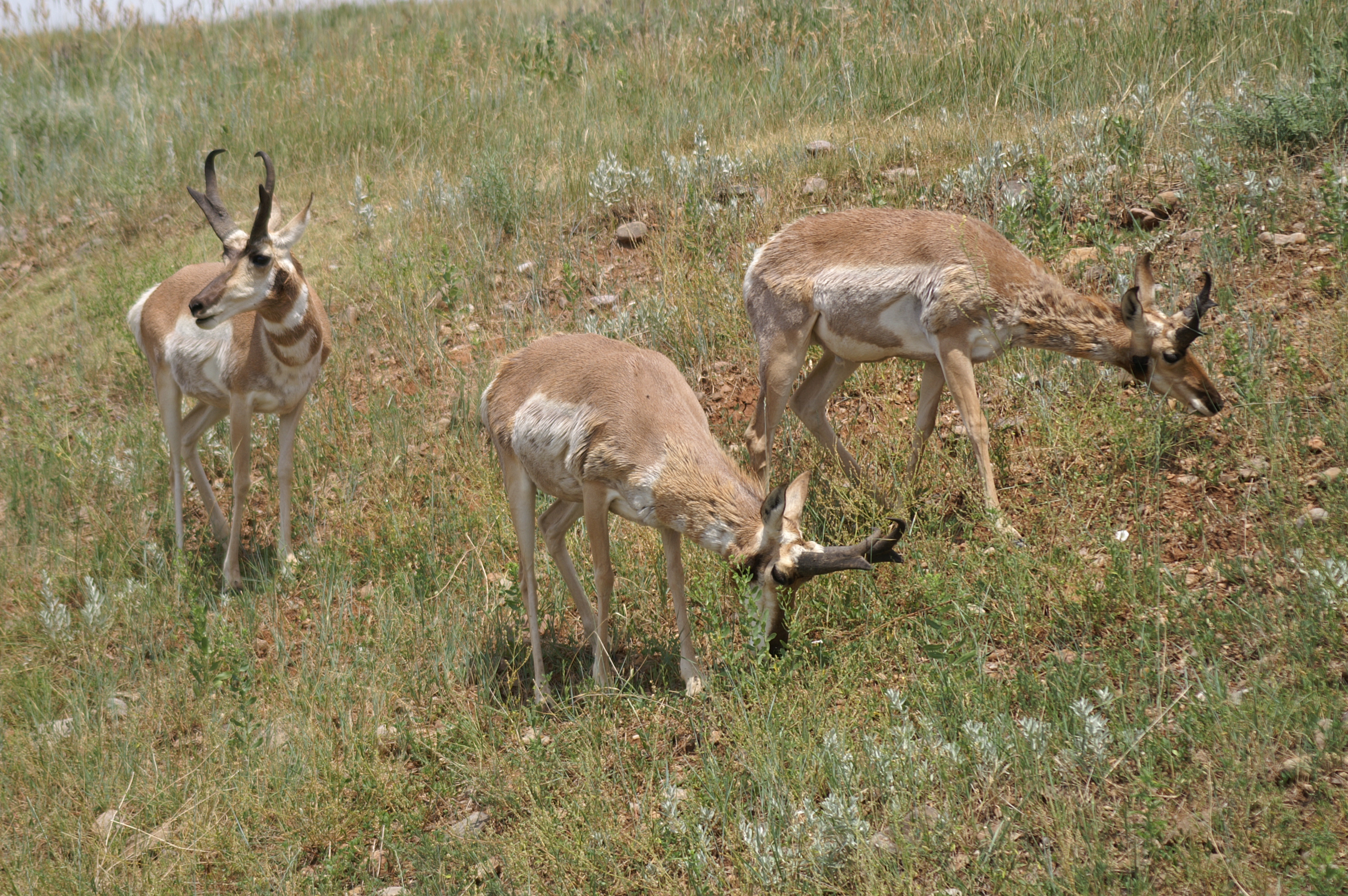
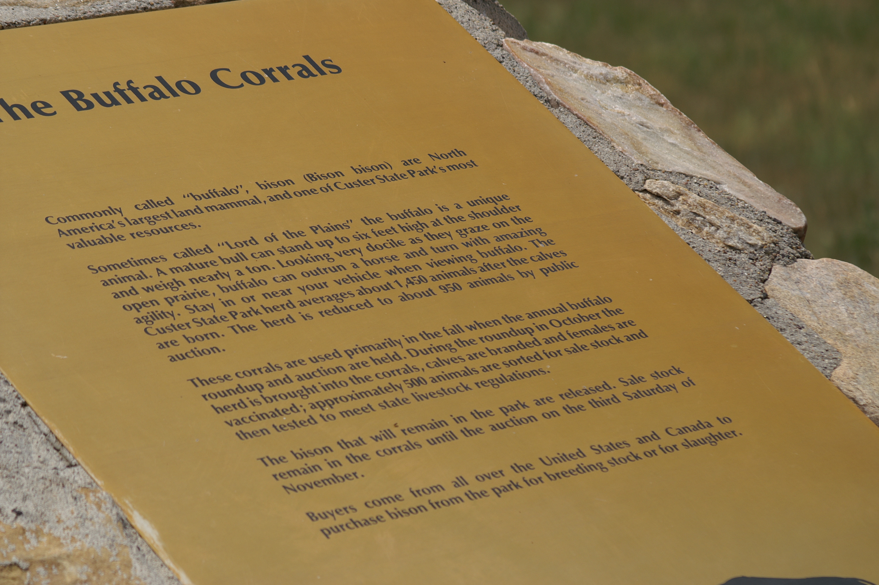
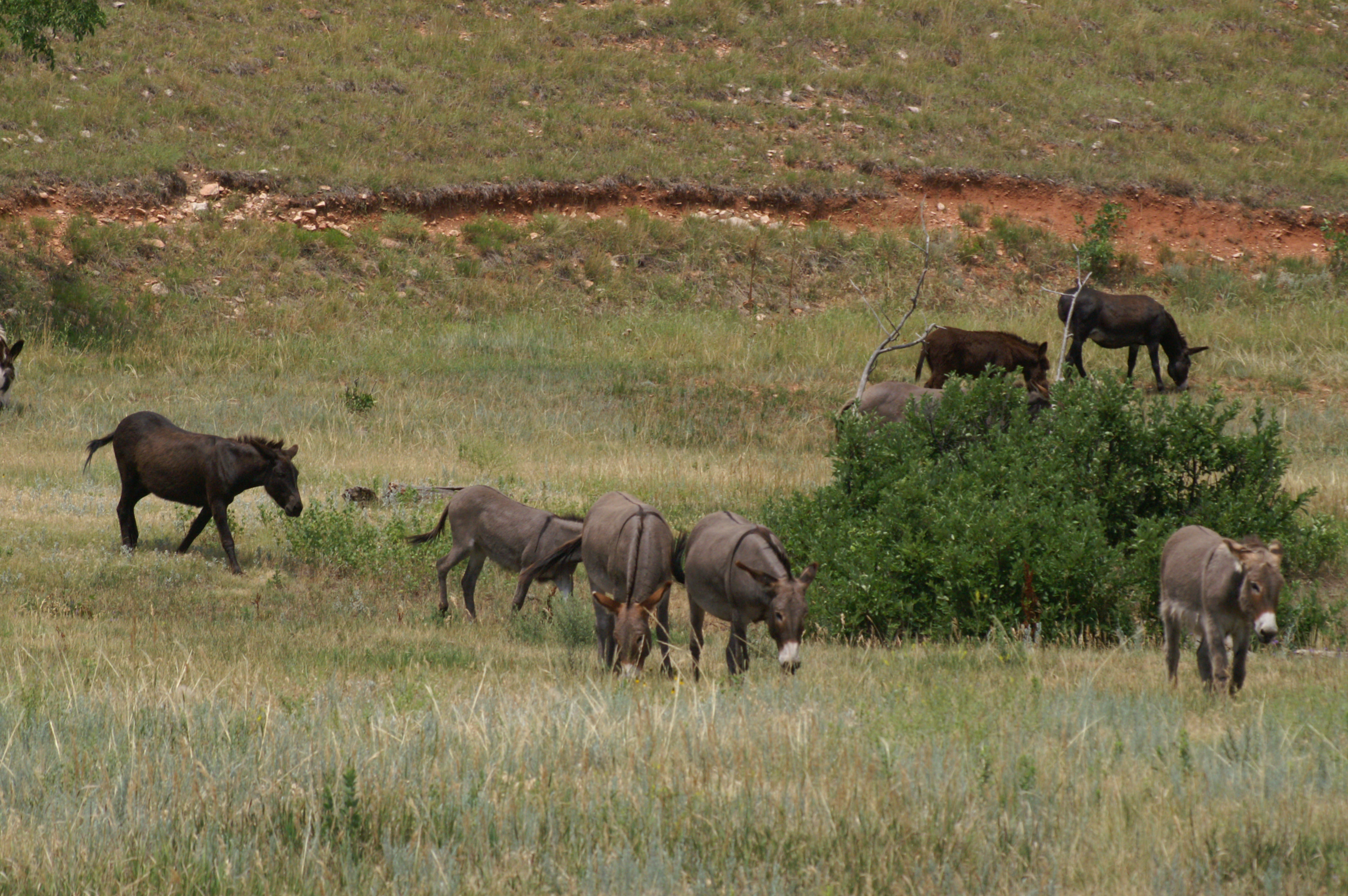
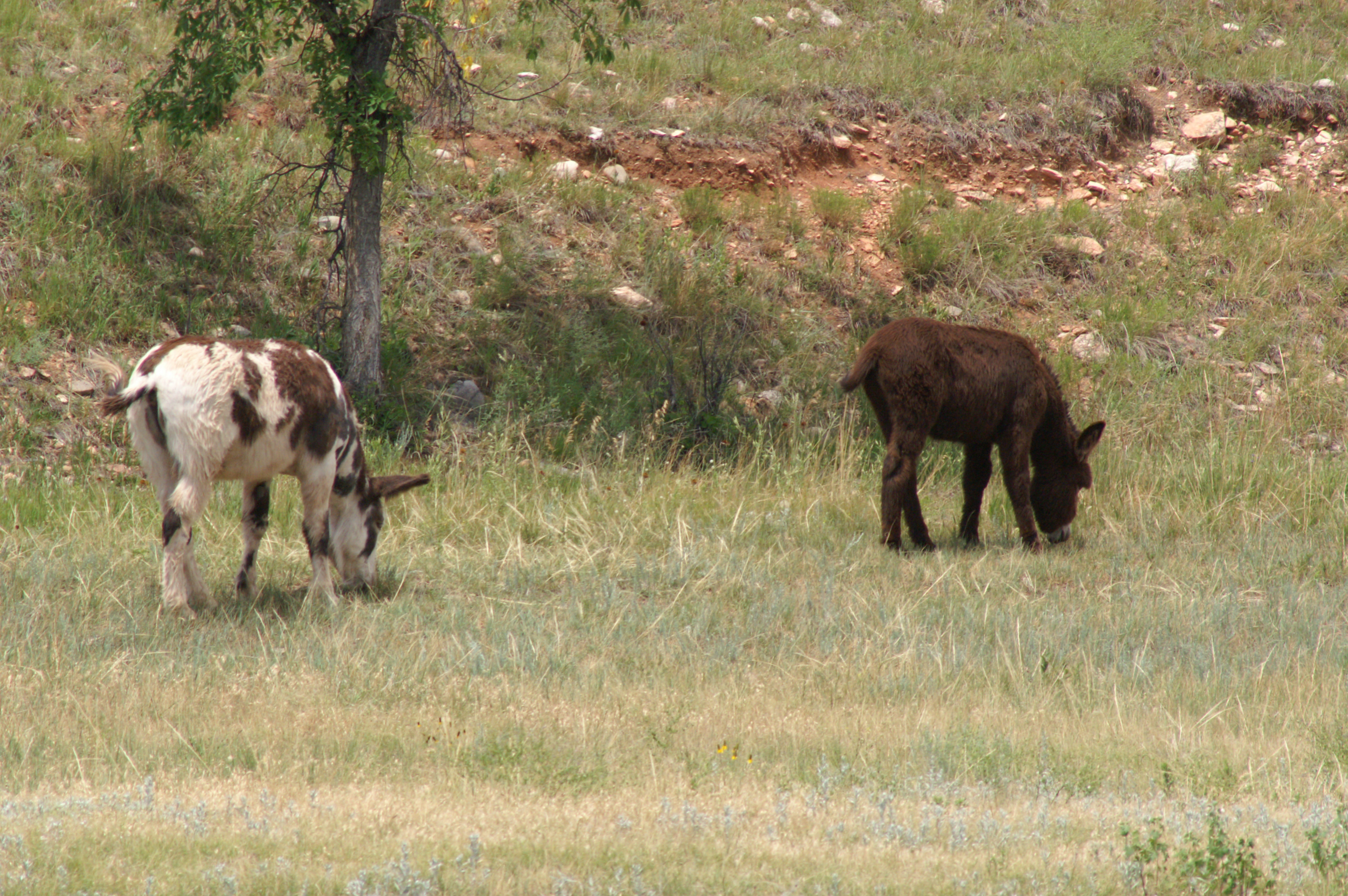
After lunch at the Dark Horse in Custer, and filling each of the bike's fuel tank, we head back to the park to look for Buffalo on the wildlife loop. We did not find the buffalo herd (we were grateful in a way), but we did see; a lone Buffalo, a lone calf on the other side and down the road, a number of deer, antelope, donkeys, and prairie dogs. According to the park sign (photo to the right), the Buffalo is the largest land mammal on the north American continent.
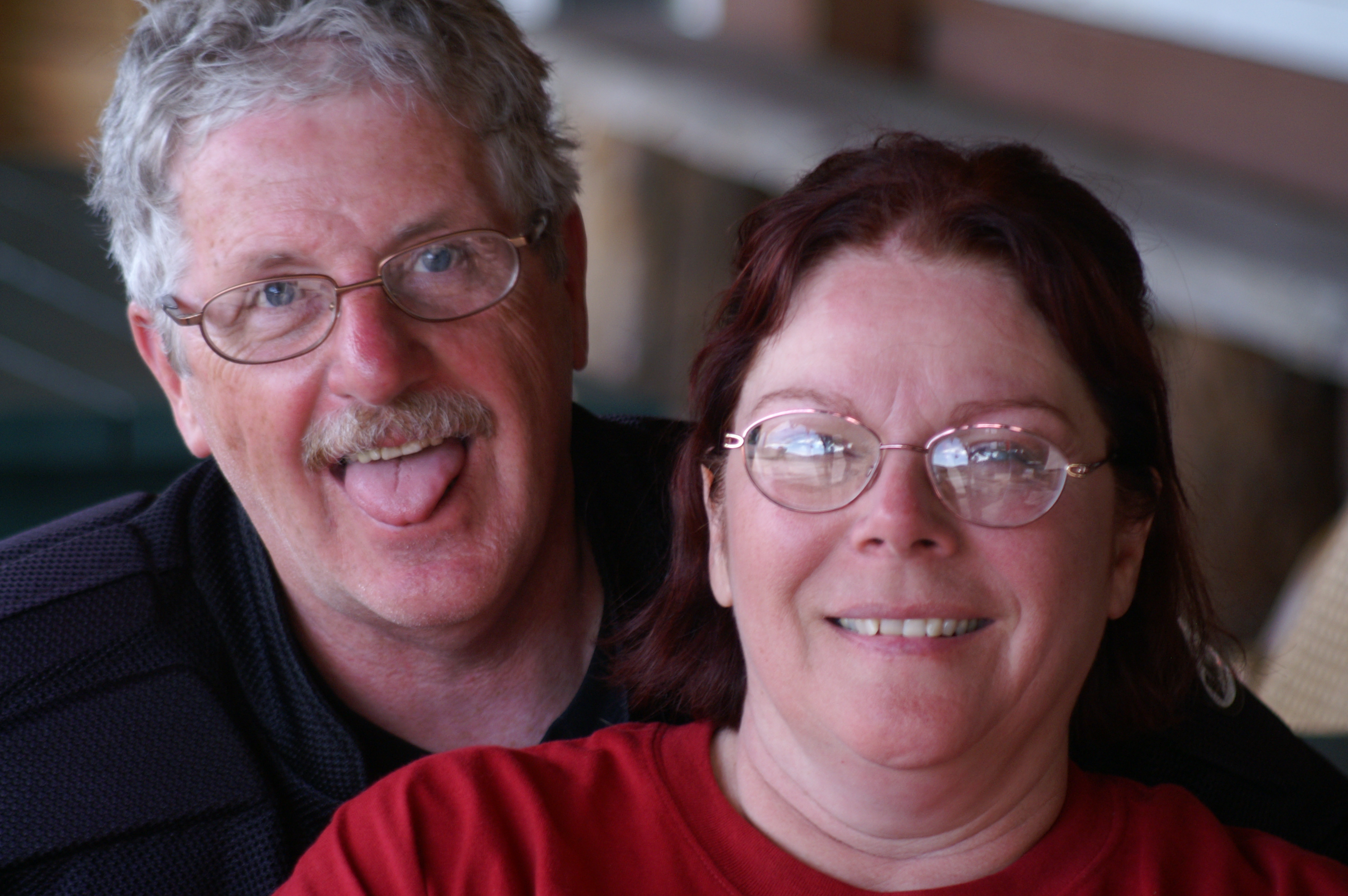
On the way up the Iron Mountain Highway to Mount Rushmore, we stopped at a horse camp. Horse owners from all around bring their horses in on trailers, set camp in the camp ground, then head out on day trips with the horses. What a perfect way to see the park back country. The front office to the camp is where Katie, Chuck and Marci fell victim to the camera in their face. This is something my girls have grown accustom to over the years.
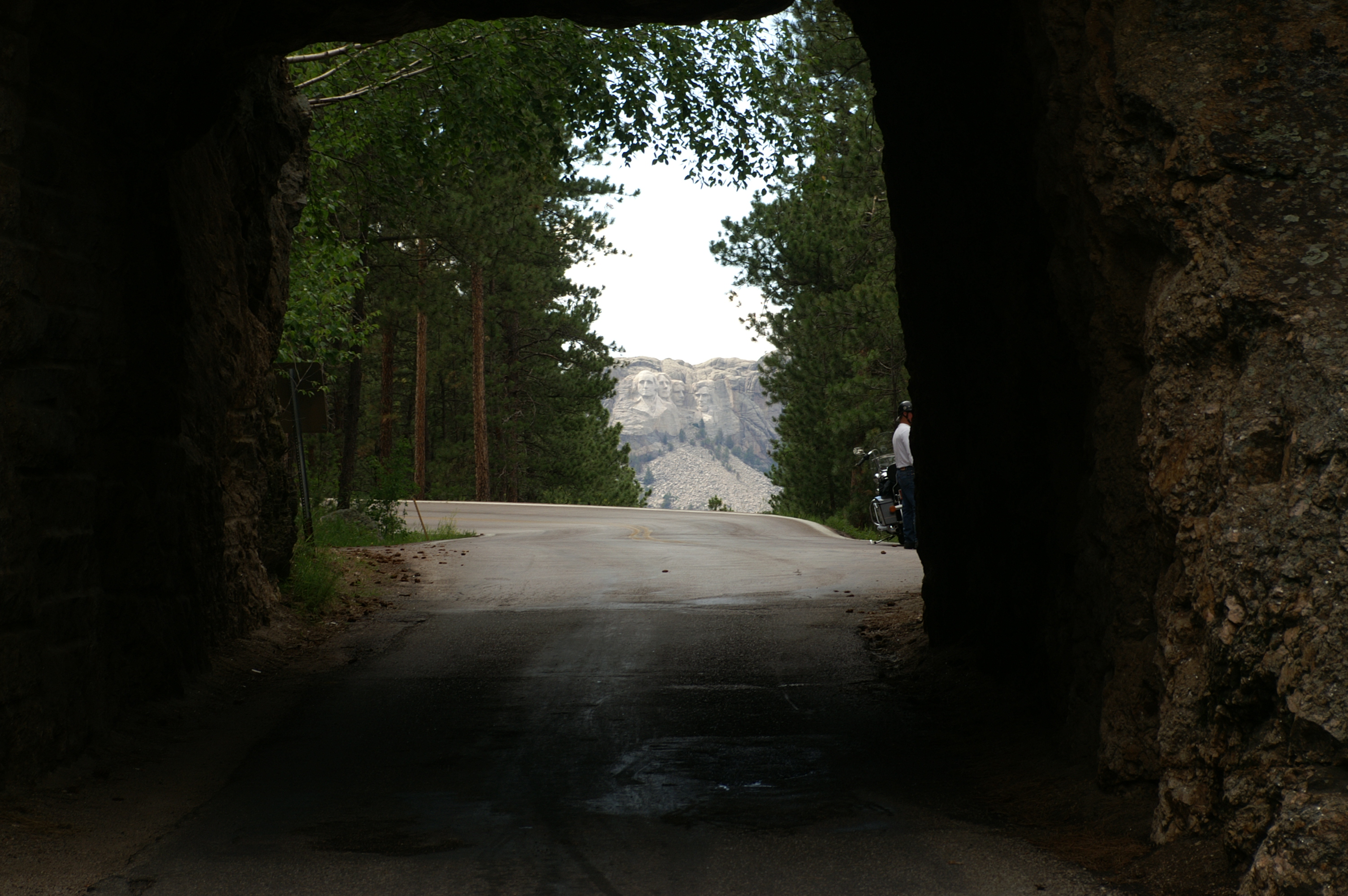
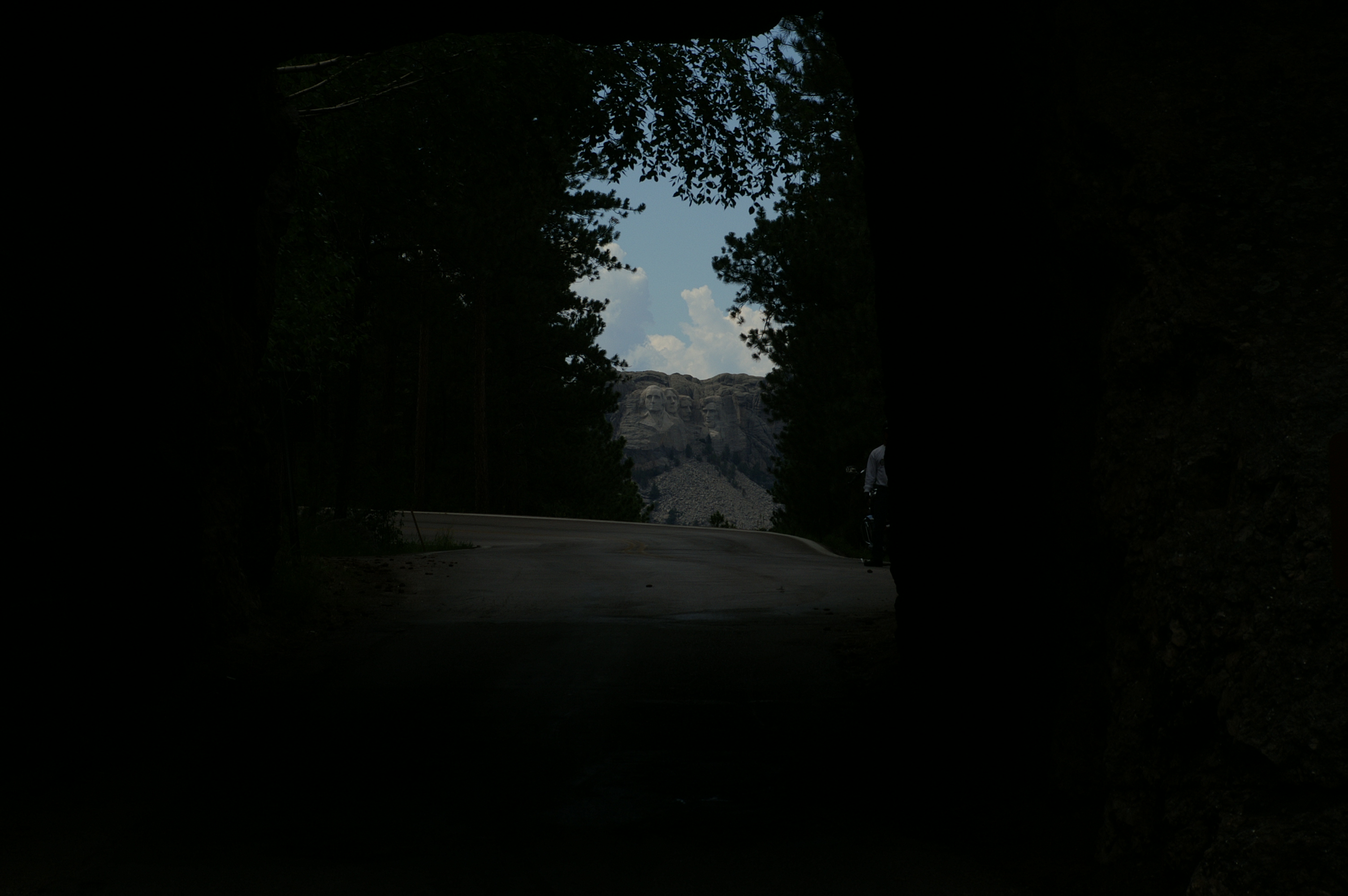
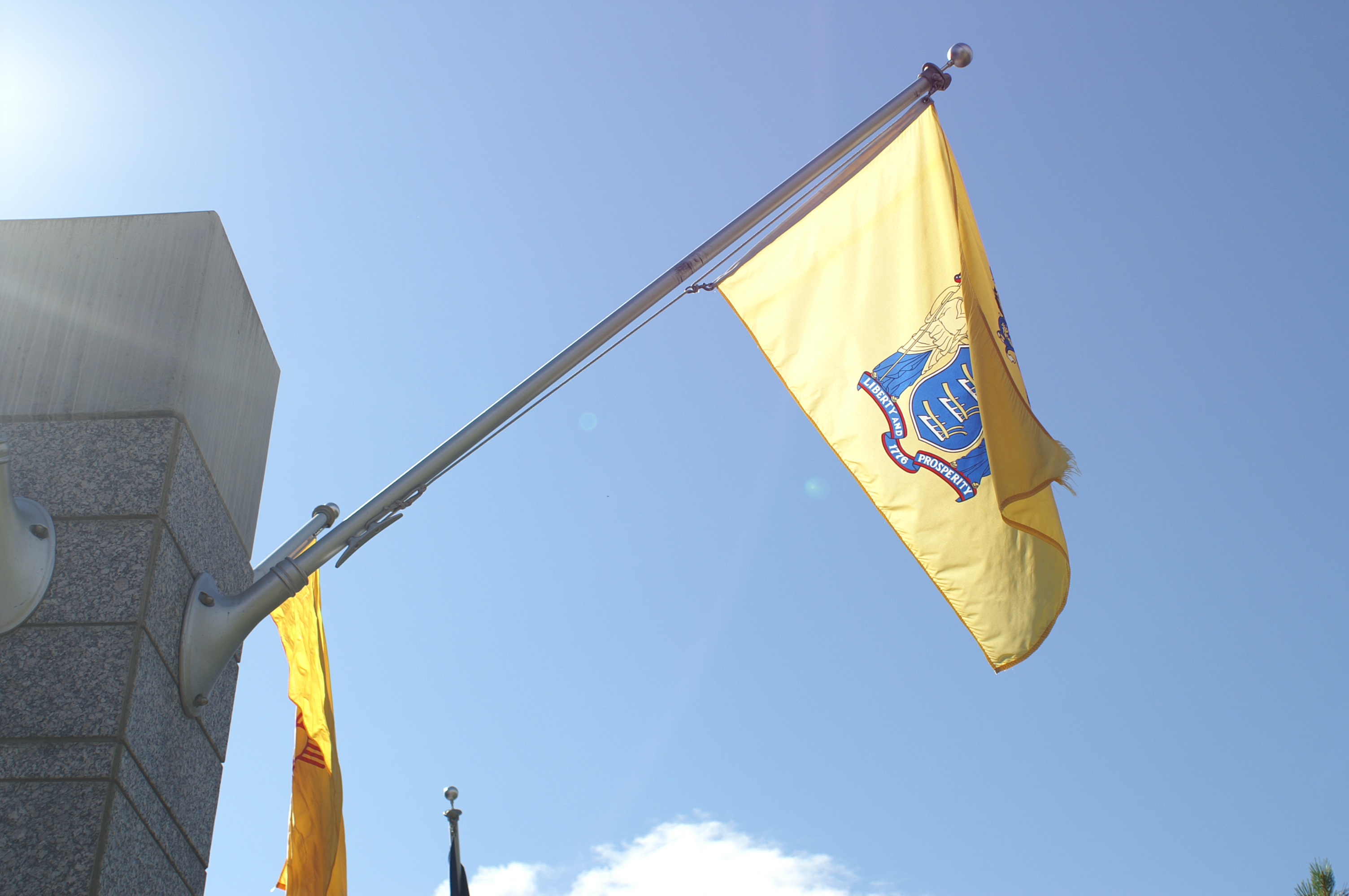
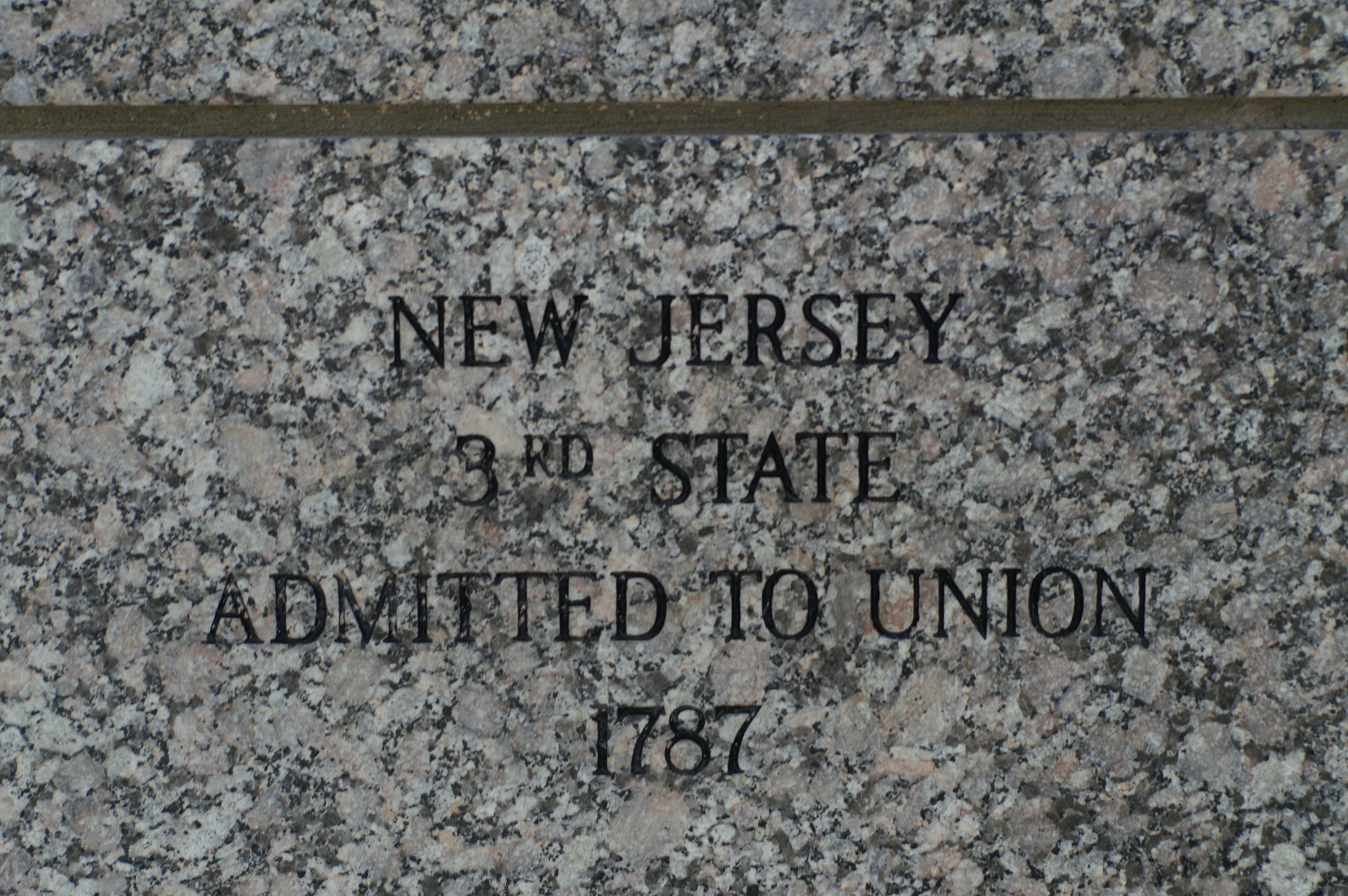
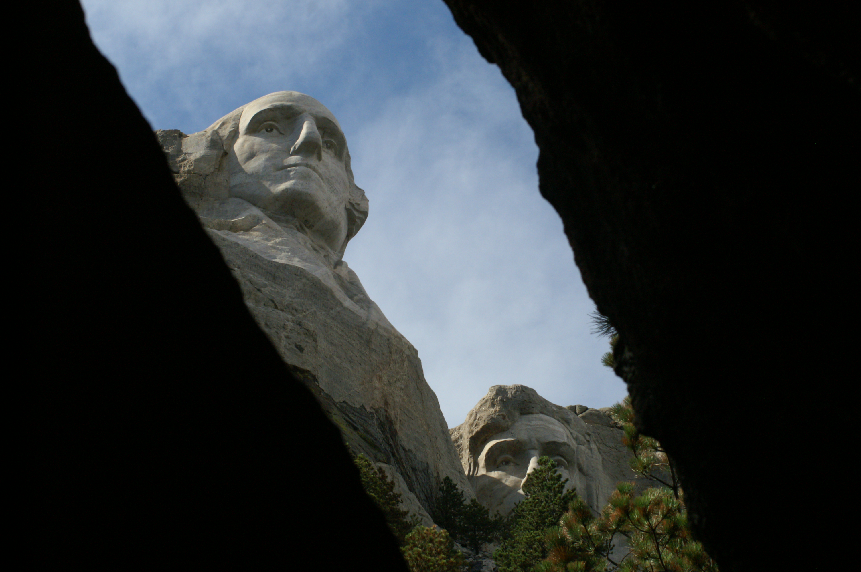
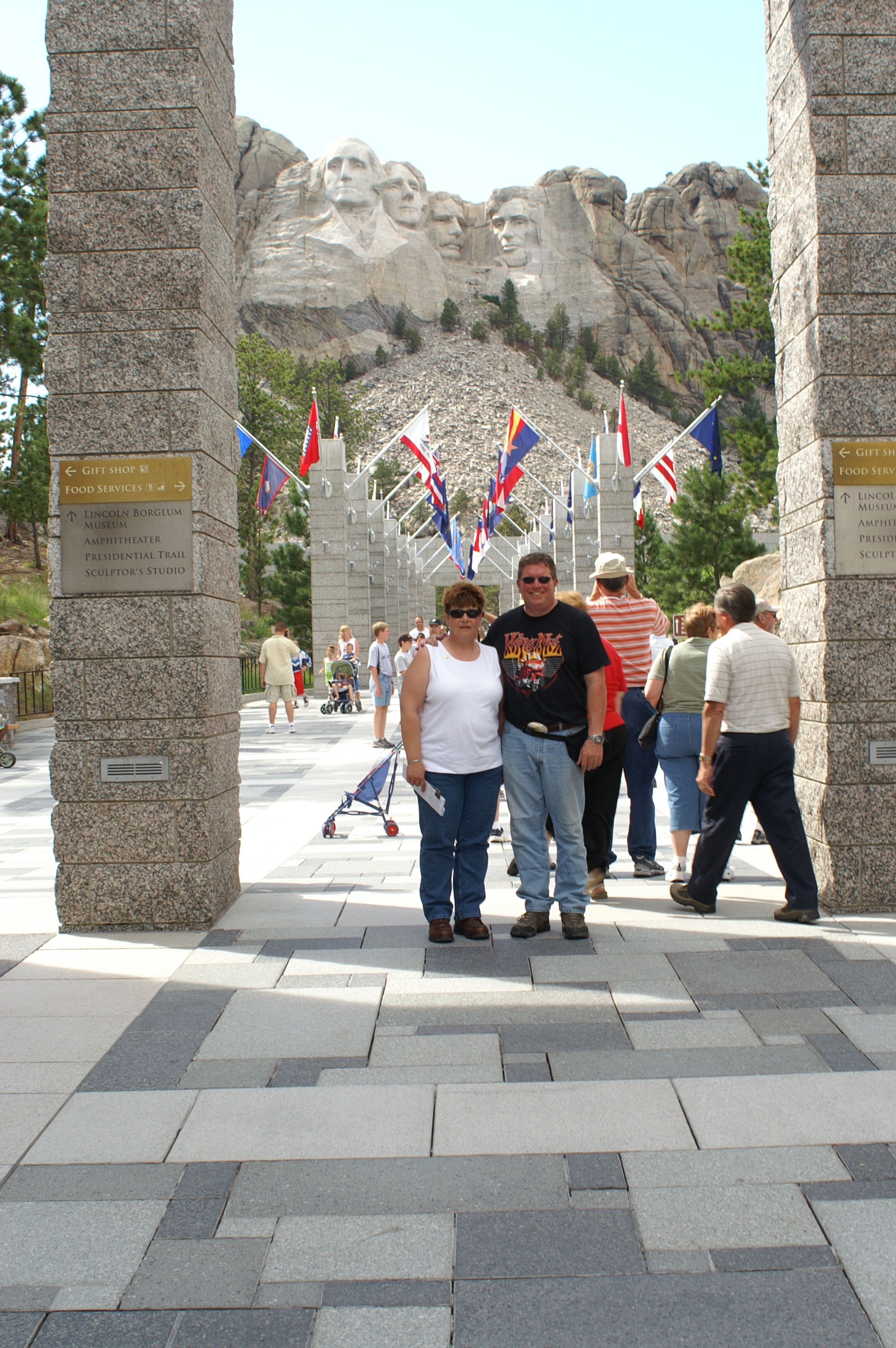
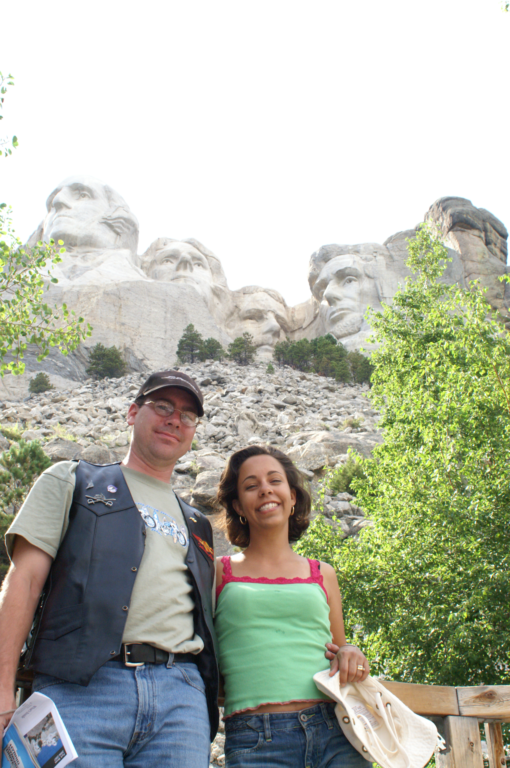
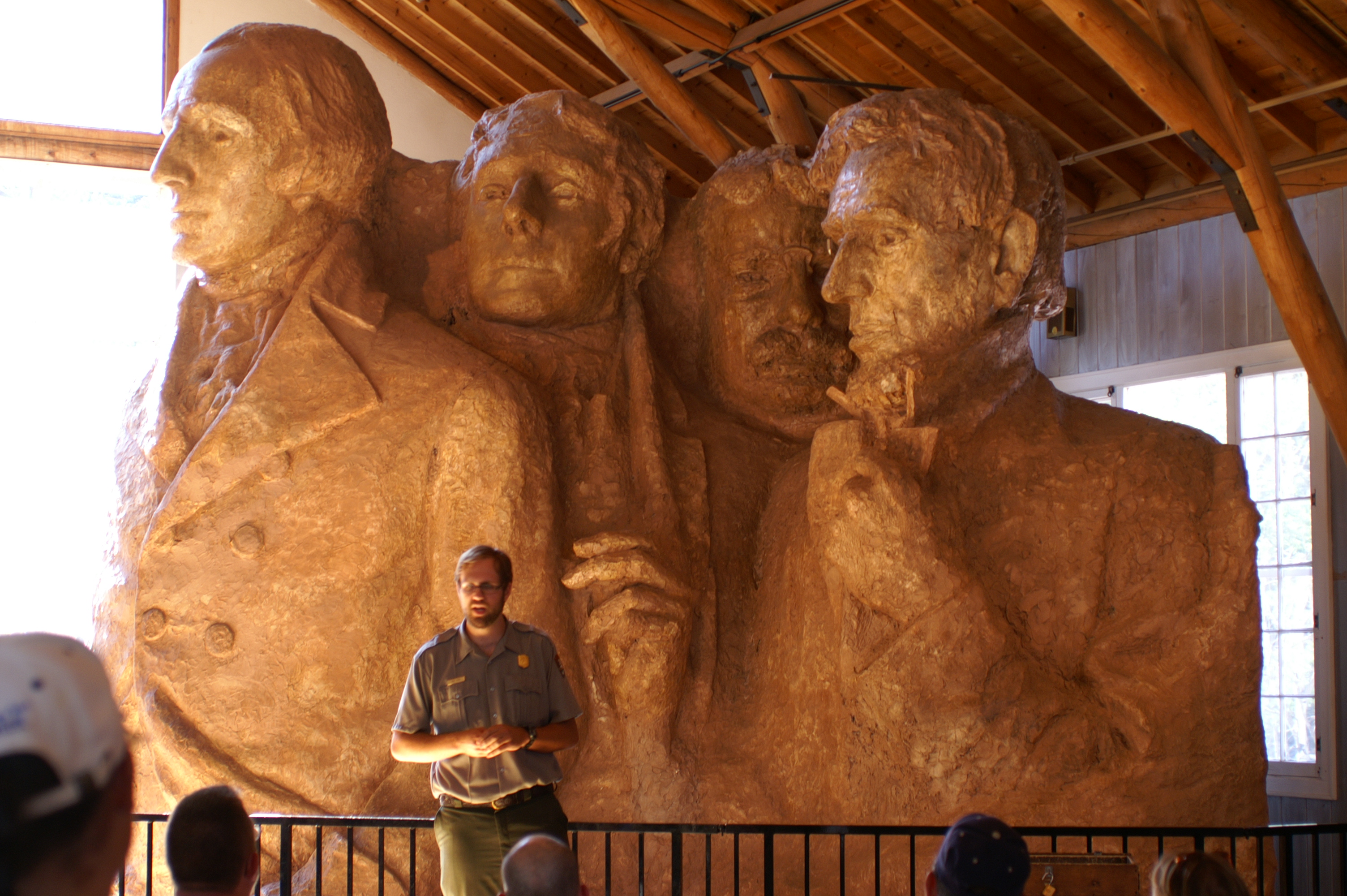
There are two tunnels that frame the view of the presidents on the Iron Mountain Highway. We got some shots from the first one we went through, but not the second. The second had a car in the middle of the lane. It was not there when I started into the tunnel, but appeared after and would not back up once they realized we were coming through. I had about 6 inches of clearance on each side of the bike. Needless to say, but we made it through and eventually to the tremendous monument to the four presidents. We found our NJ represented on the walk of states. Val was exhausted so she stayed back with Marci and few others. We found George, Bill, Mary and Howie while we were there. Howie was running around the long loop and we literally bumped into each other in the carving museum at the bottom of the ring. In walking around the loop, there were several wonderful areas to shoot photographs. The video clip is taken as we travel towards Mt. Rushmore on the Iron Mountain highway. Like all of the other videos taken by Val on the bike, she does not use a view finder. It is literally point and shoot. So if it appears like she is concentrating on the gravel on the side of the road in places, or on blurring trees along the roadway, keep in mind that the camera was on top of a pole and she tried to point it in the direction of interest while riding and leaning like a good passenger. It was not easy.
We finished the day by going out to Minerva's restaurant on the north side of I90. It was a bit of a walk (1/2 mile) but well worth it. The food was out of this world and the service was even better. Day 3 is still wide open, but perhaps the others will be available for some coordinating.
|